
A digital map of your farm
Map out all your farm's fields and features, shared with your team and accessible on your phone or laptop for easy reference.
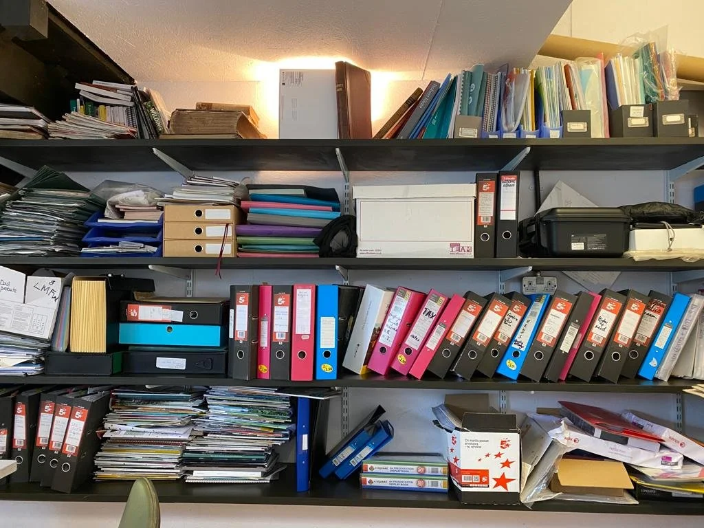
"The amount of fields we deal with is massive, we were working with over 10 ring binders of paper maps. It has been great to digitise them. It means that the whole team can access them on their tablet in the cabs."
Rob Boole, Contractor, UK
Map your farm in under 30 minutes
Quick and easy farm mapping

Map your farm in just 30 minutes. Import boundaries stored on your computer or with the MyJohnDeere. Add more detail with features like fences, gateways, buildings and water pipes. (UK only) Import RPA field boundaries.
Share with your team

Give access to farm workers, agronomists, advisers or contractors. Access on smartphone, iPad or computer. Save time spent explaining where jobs are. Help your team navigate and avoid hazards.
Plan Rotations
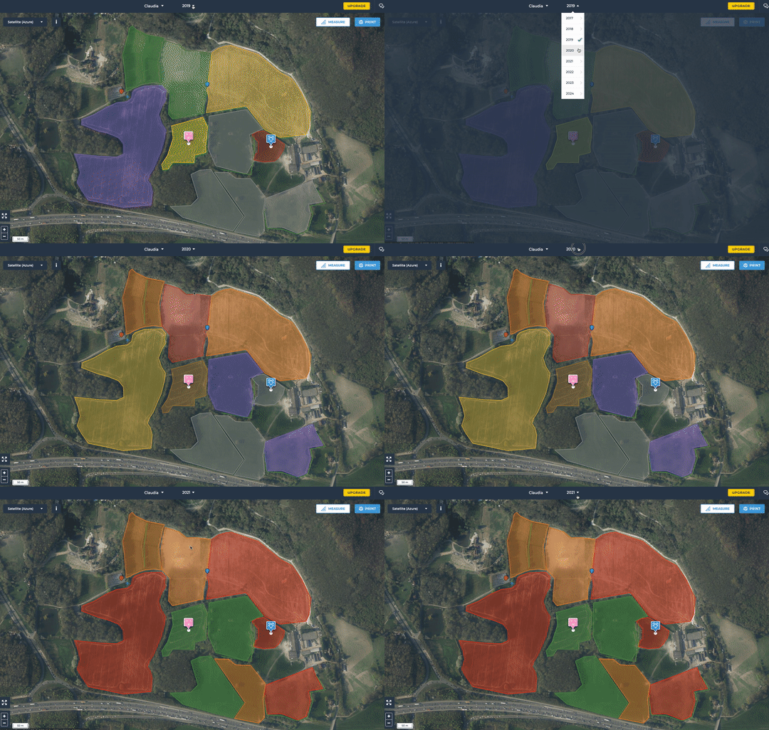
Record crops or livestock that you have in your fields, make cropping plans in minutes. Refer to past cropping to ensure your rotations are right. Plan farm cropping several years into the future.
Split into sub-fields
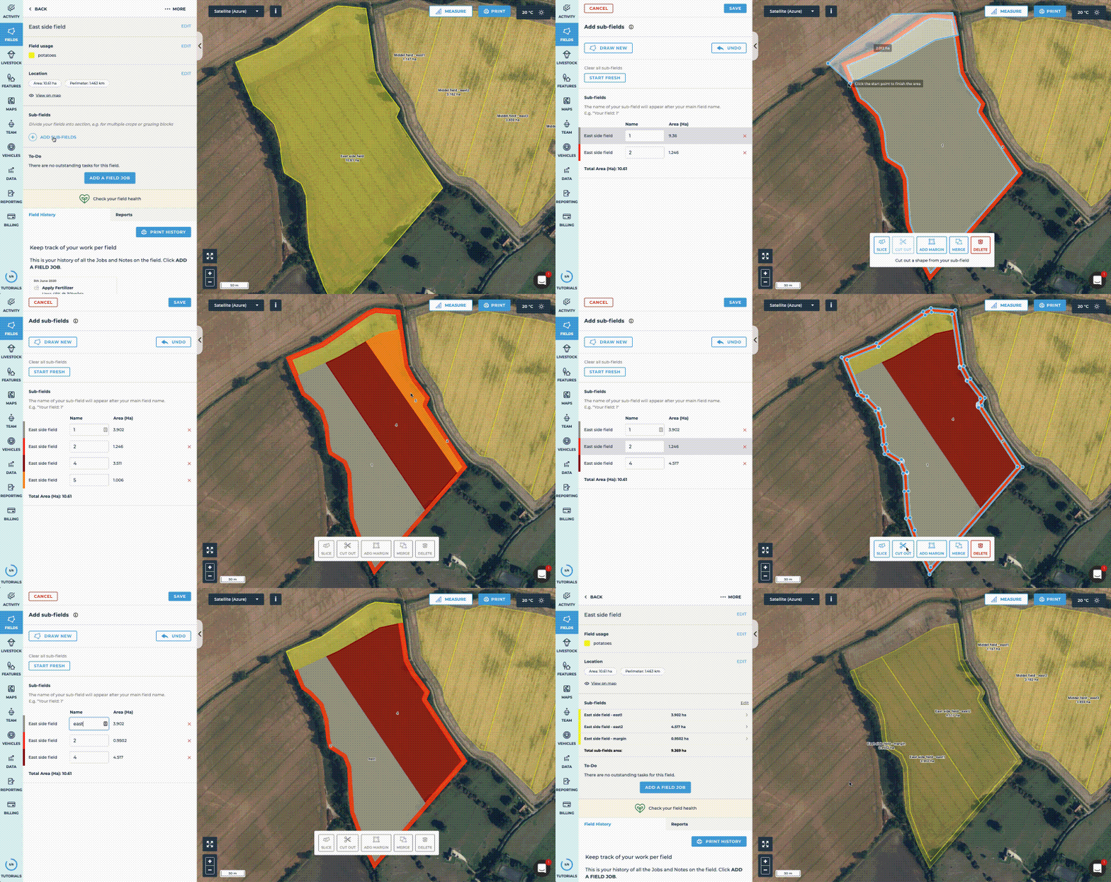
For stewardship, grazing cells, planting blocks or uncropped areas.
Divide by slicing, drawing or adding a margin.
Get more accurate areas for cropping and grazing.
Set usages, grazing and field jobs per sub-field for more detailed records.
All your farms maps in one place
Upload scanned maps or PDFs so all key data is safe in one place. Give old maps like drainage maps a new lease of life. Overlay drone imagery using our Drone Deploy integration. Upload yield maps. Add regularly updated NDVI analysis with Field Health.
Our farmers use fieldmargin with